|
INSTITUT FÜR LANDSCHAFTSPLANUNG UND ÖKOLOGIE
TIME:
thursdays, 14:00 - 16:15 h
ROOM:
K1, 9.06
START:
12.04.2018, 14:00 h
LECTURERS:
Vertr. Prof. Dr.-Ing. Jan Dieterle, Dr. rer. nat. H.-G. Schwarz von Raumer, K. Vennemann
|
|
 |
|
|
TOPIC |
|
|
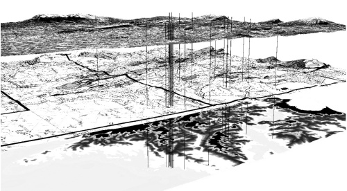
GIS-Up with Open Sources Geographic Information Systems (GIS) provide a huge bundle of tools to create, store, manage, display and analyze geo-data. They are an excellent tool to support planning and decision making processes. But appropriate geo-data are not always available, very difficult to obtain or very expensive. In the seminar you will get an introduction to GIS in general, you will learn to practice an open source GIS (QGIS) and you get information how to access freely available data. Beside this practical part – which focuses on hands-on exercises – you compile an essay about a GIS aided projects and share this with your fellow students. IMPORTANT: Students use their own computers.
SCHEDULE (1) Introduction: Thursday 12th of April 14:00h, room 9.06 (2) The introduction to open source GIS (QGIS) Friday, 13th and 20thof April 2018 9:00 -16:00h, room corresponding to demand (3) Weekly tutoring/seminar: Thursday 14:00 -16:15h |
|

